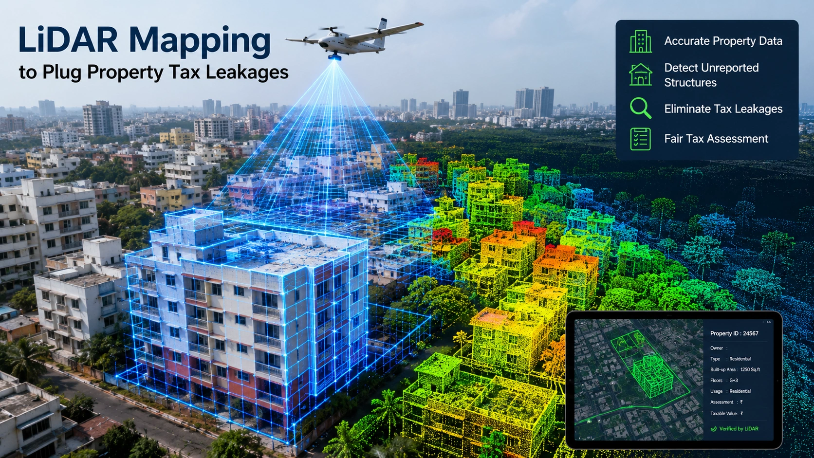
A comprehensive Geographic Information System (GIS) mapping project using LiDAR technology and survey-grade drones is set to create detailed 2D and 3D maps of properties, utilities and civic infrastructure. The four-month project, estimated at Rs 1.6 crore, will focus on identifying discrepancies in property tax assessments. The mapping exercise is expected to help authorities detect properties where the recorded built-up area is lower than the actual area, resulting in potential revenue losses. High-end drones equipped with multi-oblique cameras and Differential Global Positioning System (DGPS) technology will conduct vertical and horizontal surveys of around 2.4 lakh property assessments.
The survey will help identify:
-
Unauthorised additional floors
-
Terrace structures
-
Differences in floor-wise built-up areas
-
Properties with discrepancies between actual and recorded measurements
-
Other variations in existing property records
The use of LiDAR and drone-based mapping is expected to provide more accurate measurements than conventional manual assessments. A key objective of the project is to identify gaps in property tax assessments. Differences between actual construction and recorded built-up areas can lead to properties being assessed for lower tax amounts. The GIS database will enable authorities to compare detailed survey data with existing municipal records and identify such discrepancies. This could help improve the accuracy of property tax assessments and strengthen local-body revenue collection. The mapping project will also create a wider database covering 78 parameters related to properties, public assets and infrastructure.
The data is expected to include the locations of:
-
Police stations
-
Fire stations
-
Hospitals
-
Public parks
-
Streetlights
-
Roads and road widths
-
Other civic infrastructure and public assets